
BRITS are set to bask in more glorious sunshine today ahead of 33C highs over the weekend.
A Met Office map shows which parts of the country are in for the hottest temperatures.

4

4

4
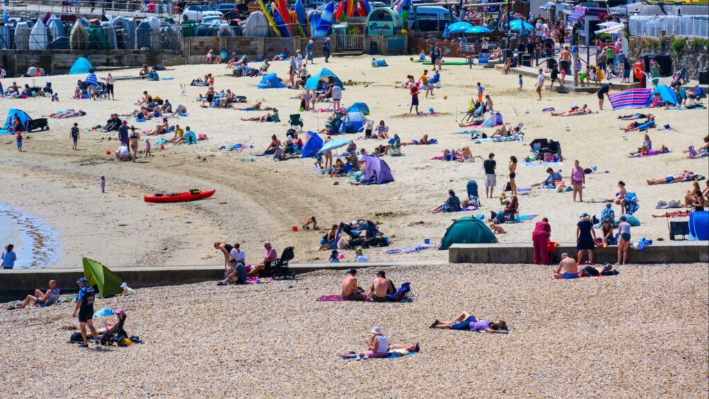
It comes after the mercury soared to 28C yesterday as the UK hailed the returned of the sunshine after a miserable bout of heavy rain and thunderstorms.
Meteorologist Clare Nasir said: “Prepare for some hot conditions as a heatwave returns to the UK.”
She explained high pressure is building from the south today “allowing for that brighter weather, that sunshine”, continuing into tomorrow.
“The peak of the heat is likely to be on Saturday, with temperatures climbing into the 30s,” added Ms Nasir, with a map showing 33C in the southeast.
“A similar situation on Sunday, again with lots of sunshine.”
A heatwave in the UK is met when a location records a period of at least three consecutive days, with temperature values meeting or exceeding the heatwave temperature thresholds.
Across the north and west of the UK this is 25C, and across Greater London and the Home Counties, 28C.
Fellow Met Office meteorologist Honor Criswick said: “It’s really on Friday that we start to see that widespread heat, and this time once again across parts of Scotland, Northern Ireland – but the highest temperatures, once again, across Yorkshire, Lincolnshire, parts of the Midlands and also the southwest.
“As we head further into the weekend, once again we can really see that intense heat becoming widespread across the country.”
She described Saturday as “dry, settled and that sunshine is set to be intense”, with a “fairly similar picture” on Sunday.
Referring to Sunday, she added: “Temperatures aren’t going to be quite as warm, but nevertheless it is still going to be very warm indeed in that sunshine.
It comes as a hosepipe ban is due to come into effect tomorrow in Yorkshire after the region saw one of its driest springs on record.
The temporary use ban restricts the use of hosepipes to water gardens, washing private vehicles, filling domestic pools or cleaning outdoor surfaces until there’s been a “significant rainfall”.
5-day weather forecast
Today:
Cloudy in the north and west, with patchy drizzle at first. Dry for most elsewhere, with sunny intervals.
Temperatures widely above average, becoming hot across parts of Southern and Southwestern England and Wales.
Tonight:
Cloudy with outbreaks of rain in the northwest.
Elsewhere, dry with long clear spells, some patchy fog across parts of Northern Ireland, Scotland and Northwest England. Warm.
Friday:
Dry and sunny widely away from the northwest. Light winds, with temperatures above average for most.
Becoming hot across Western England, Eastern Wales and Eastern Scotland.
Outlook for Saturday to Monday:
Dry with plenty of sunshine. Becoming very warm or hot through the period with some uncomfortable warm nights by the weekend.

4